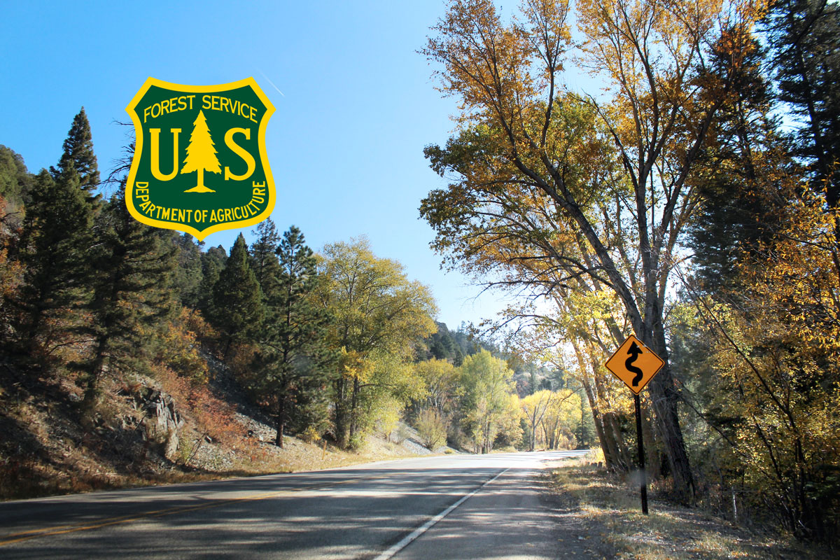
Carson National Forest managers rescinded local fire restrictions and reopened most of the Carson National Forest on June 24, after a week of significant rainfall with more in the forecast. Similar changes occurred throughout national forests in New Mexico.
“We’re relieved by the early onset of monsoonal flows, not just for decreasing fire danger and activity but also getting people back into the Forest,” said Forest Supervisor James Duran. “Some areas and limitations will temporarily remain in effect, so we are asking visitors ‘know before you go’ and check conditions before heading out.”
The Camino Real Ranger District, where the northern end of the Hermit’s Peak and Calf Canyon Fires are located with 72% containment, remained fully closed as of press time, and are set to also re-open. Trails closest to Taos will remain unavailable. Forest service staff are developing a smaller closure footprint to include the fire burn area and related debris flow and flash flooding locations, as well as roads and areas affected by work on a fuel break contingency line north of the fire area.
An area surrounding the Midnight Fire on the El Rito Ranger District, as of this writing has 98% containment and will also remain closed. Details with a map, is posted on the Carson National Forest.
Other closures in effect prior to the implementation of the mid-May Stage 3 fire restrictions closure will remain so. Those include limitations in Valle Vidal and some roads west of Tres Piedras, all due to elk calving.
Some campgrounds will have a delayed reopening due to staff and concessionaire needs in ramping up operations, including hazard tree and branch removal. Campers should be prepared to bring their own water as it may not be initially available as campgrounds reopen. Other services may be limited. Visitors should call ahead or check the forest webpage at https://www.fs.usda.gov/carson/ for open/closed statuses.
All trails are reopened, but some remain severely impacted by windfall from the winter squall in December. Trail crews and partners diligently worked through the spring to clear effected trails, including those to Wheeler Peak and Lake Williams (with a temporary reroute at the trailhead). Trails that remain very difficult to pass and are not recommended for travel include those that make up the Lost Lake Loop, which are the Lost Lake/Middle Fork (#91) and East Fork (#56) trails, and Lake Fork (#82) trail out of Cabresto Lake. Not all trails have been surveyed and more may be unpassable.
While all local fire restrictions will be rescinded, regional fire restrictions and federal law regarding fire on national forests remain in force.


